Capitol Reef National Park Hiking and Other Awesome Things to Do in Fruita Utah
Not every National Park has to be an exhausting feat of tackling miles and miles of hiking trails. You don't ALWAYS have to exit the park after a long day with blisters and sore legs (despite how accomplished it might make you feel lol). Like the ancestral Pueblo homes in the cliffs of Mesa Verde, some parks are just a smidge more relaxed, focused more on education about the history of the park's boundaries and surrounding areas. Capitol Reef National Park in Utah is one of these spots. While it still has its fair share of hiking trails, much of the park can be seen in a more relaxed way via the Capitol Reef Scenic Drive or casual stroll. Over thousands of years, many different people have inhabited this land and the National Park System has worked hard to preserve this history so you can walk a mile (or a multi-mile hike), in other people’s shoes.
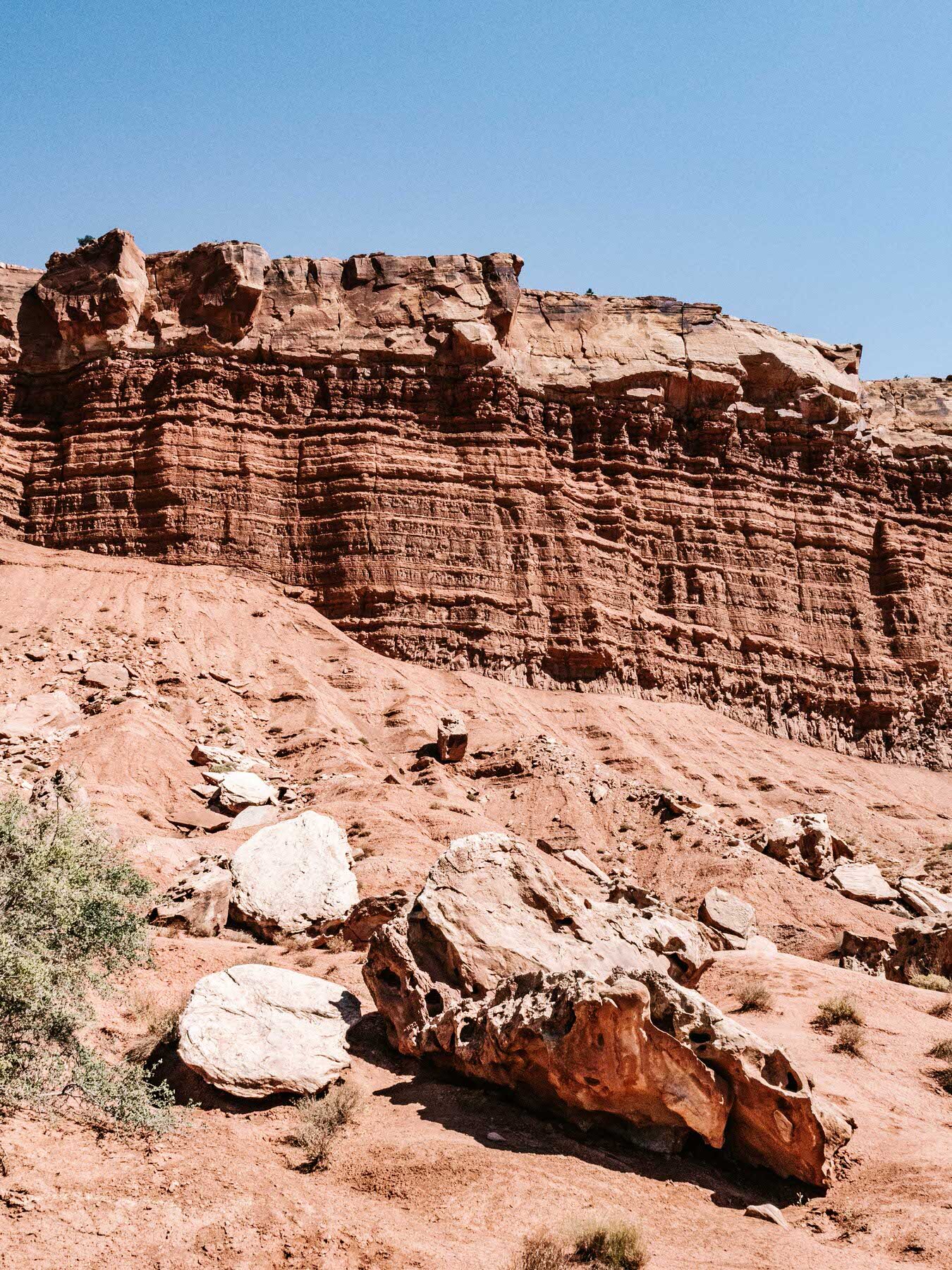
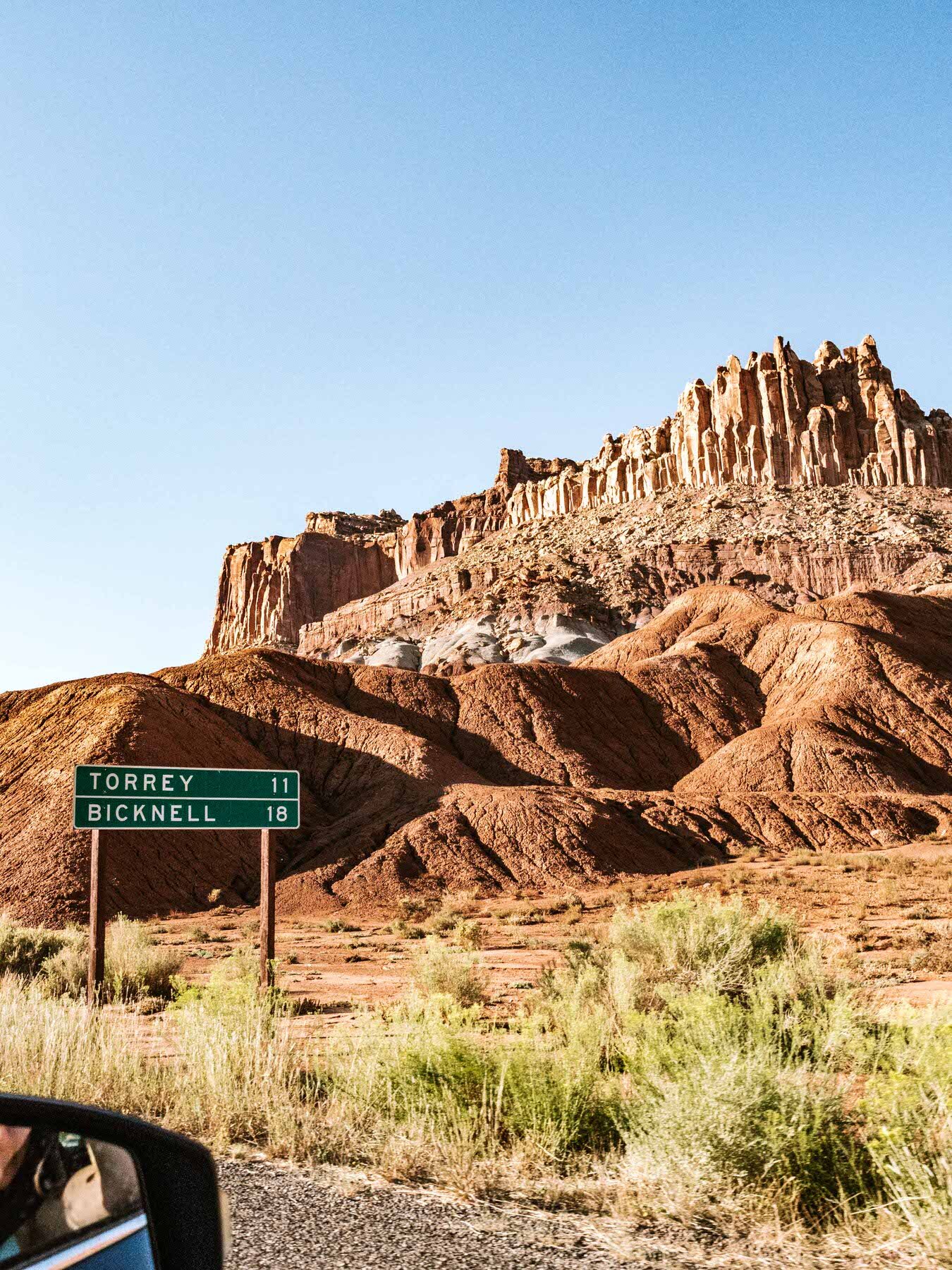
One of the big selling points of Capitol Reef is the scenery, which appears like a melting pot of all the other National Parks in Utah—mixing arches similar to those near Moab with canyons and cliffs like Bryce NP. The area of Capitol Reef is located in what's scientifically called the Waterpocket Fold, or a literal wrinkle in the Earth's crust (as unnerving as that sounds) created over millions of years of deposition, uplift, and erosion. This fold extends for over 100 miles and creates a stunning visual display of rock that makes you feel like you're driving into an actual shelf of ocean reef above-ground. This reef-like appearance lends to the park's name, as well as the naturally-occurring white domes of Navajo Sandstone. These domes are visually similar to those found on the tops of "capitol" buildings throughout the U.S, hence the name Capitol Reef.
Pick Fresh Fruit and Walk Through History in Fruita Utah
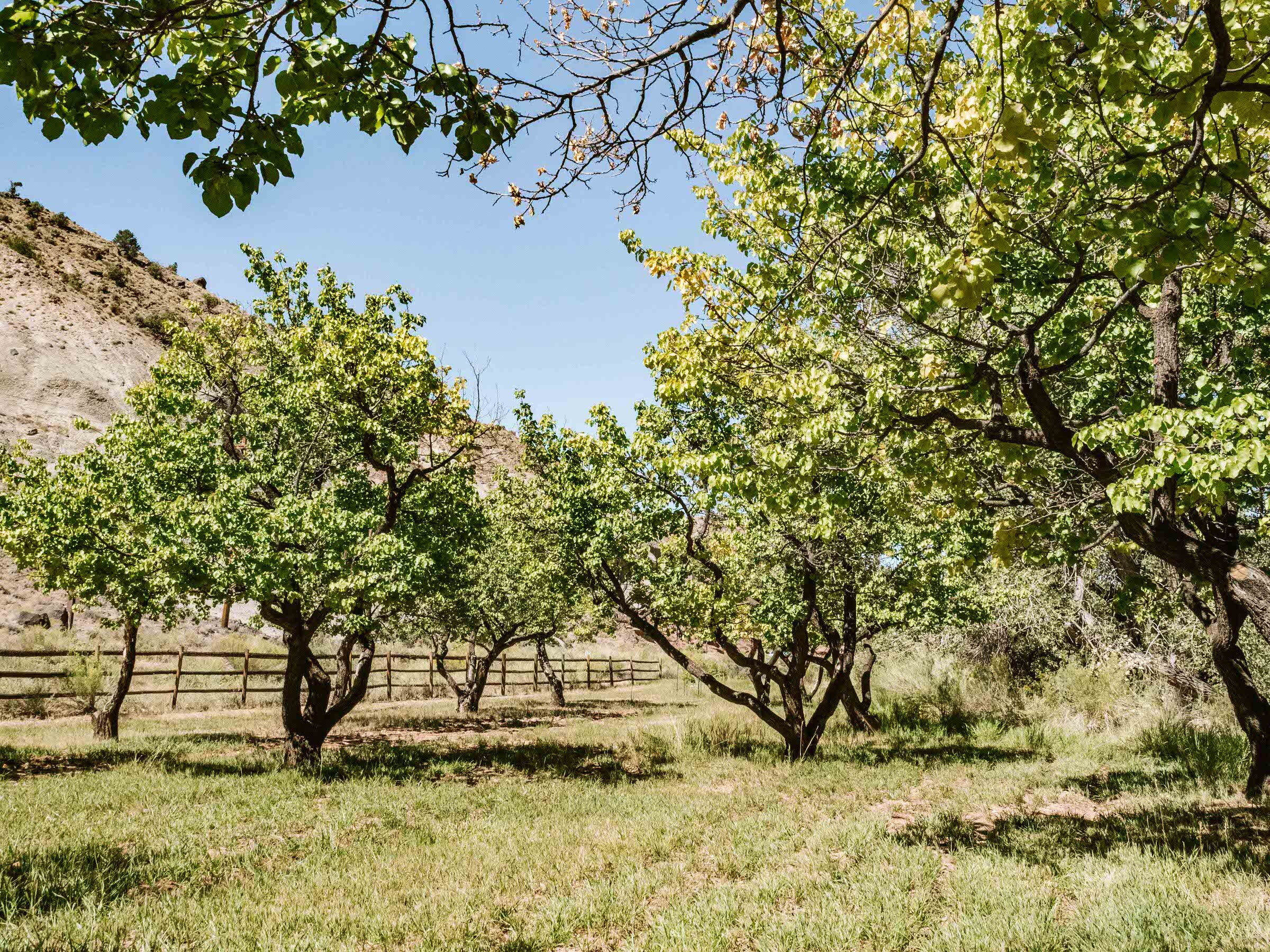
The center of Capitol Reef National Park is located in Fruita, Utah, a town you will conveniently drive straight through as you travel along Utah Route 24. However, this isn't a typical town with 21st century lodging, gas stations, and the stereotypical National Park rock shops (who are all the people buying rocks at National Parks anyway?). Fruita was first established by Mormon settlers in 1880 and received its namesake due to its vast collection of orchards, which provided both sustenance and income opportunities for locals. The National Park Service purchased the land in the 1950s to preserve and restore this part of Utah's history. To this day, the park rangers tend to the orchards, pruning and irrigating over 2,500 fruit trees growing everything from apples to apricots. Although the orchards are considered "historic landscape," visitors are encouraged to explore and pick fruits freely. Picking is free, but if you choose to take a bag of fruit out of the park, you'll need to pay.
The orchards became part of our "casual stroll" park activity, and we were lucky enough to find an abundance of pear trees during the time we visited. Simply reaching up into the branches, we were able to have a quick, fresh afternoon snack. We even had friends join us, as two deer picked at the fallen fruit on the ground around each tree. The Fruita orchard schedule is expansive, with different produce varieties available during different seasons. Below are the estimated harvesting times from the NPS website:
Cherries: June 11 - July 7
Apricots (early): June 27 - July 22
Apricots (regular): June 28 - July 31
Peaches: August 4 - September 6
Pears: August 7 - September 8
Apples: September 4 - October 17
In addition to the orchards, you can view the one-room Fruita Schoolhouse, which also has been restored. This small building nestled near the cliffside was used to teach the Fruita children reading, writing, and math and was also a central meeting place for the town. Gifford Homestead is located on the opposite side of Route 24 and was the home of settler Calvin Pendleton in the early 1900s before being sold to the Gifford family. The building now houses exhibits on the settlers' culture and sells hand-crafted, locally made items such as fresh pies and bread.
Cruise Through the 8-Mile Capitol Reef Scenic Drive
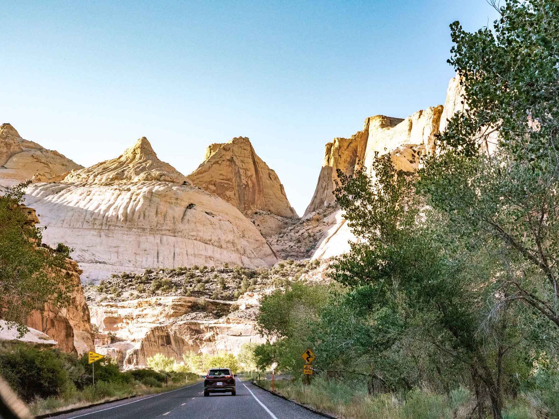
Moving onto the "leisurely drive" park activity, the Capitol Reef Scenic Drive is the perfect way to get up close and personal with the Waterpocket Fold. This 8-mile stretch begins at Gifford House near the Fruita Utah orchards and continues to the Capitol Gorge trailhead parking lot. Along the way, you'll see varying mesas and plateaus of all different colors plus unique plants and vegetation. There are plenty of pull-outs along the way if you want to get out and explore further on foot. Make sure to set aside 1 -1 1/2 hours to do this drive at your own pace.
Try to Spot the Petroglyphs
Although the orchards and buildings of the late 1800's settlers are what's most clearly on display in Capitol Reef, you can still catch sight of those that lived on the area even longer ago: from 300-1300 CE. The petroglyphs of the Fremont Culture are located along Petroglyph Trail, a short and accessible boardwalk trek that winds along the edge of the canyon wall parallel to Route 24. You may instantly spot drawings of bighorn sheep and geometric shapes. If you look even harder (binoculars help), you'll locate even more. It's a true "Where's Waldo" of ancient rock carvings!
Catch the Views at Goosenecks and Panorama Point for Epic Views of the Waterpocket Fold
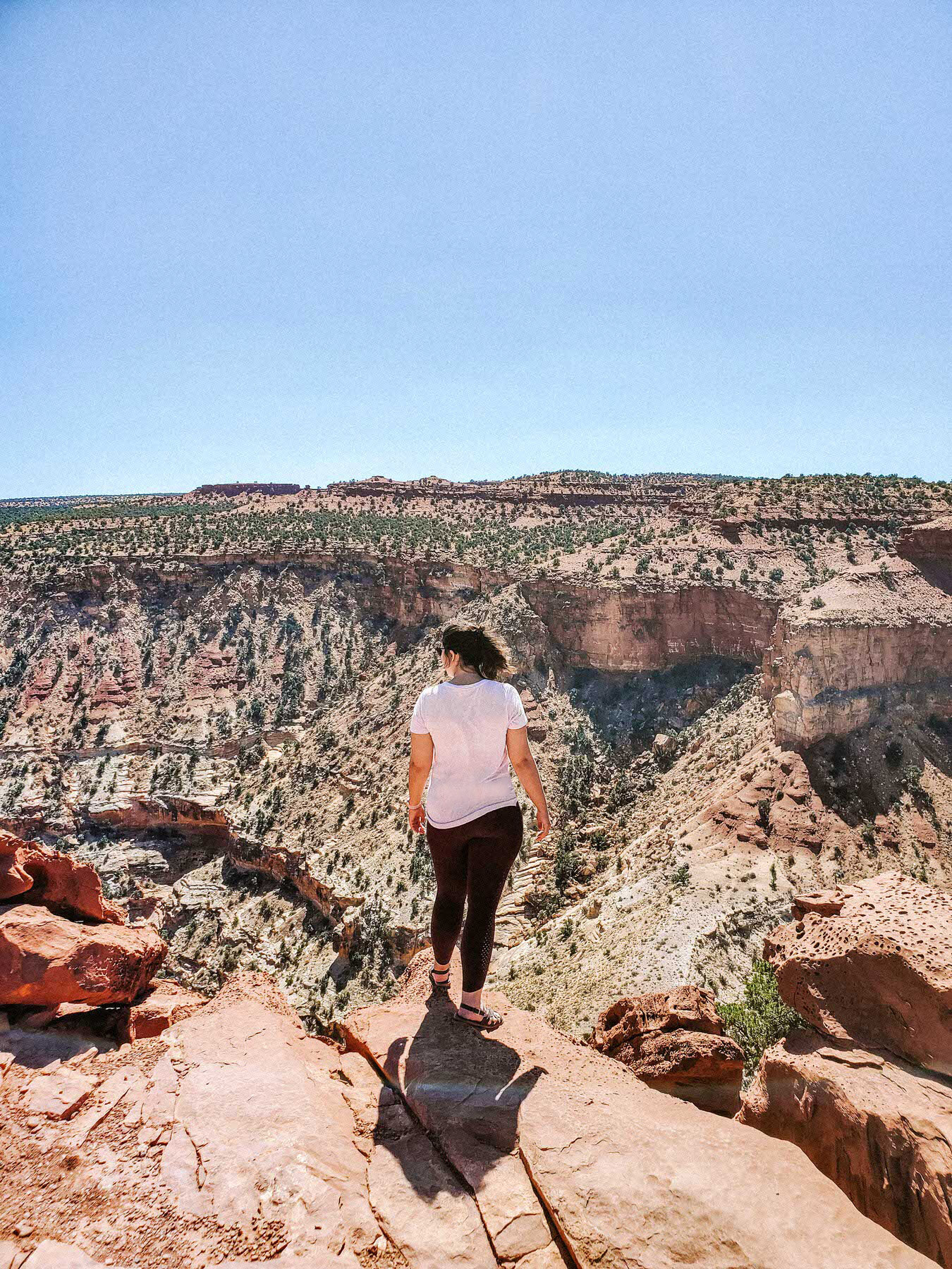
For dramatic and vertigo-inducing views of the steep canyons created by the Waterpocket Fold, take the turn-off from Route 24 towards the Goosenecks Overlook. On the way you'll find Panorama Point, a quick drive on a paved roadway to a viewpoint that gives you the promised 360-degree views. However, suppose you continue further along the gravel road. In that case, you'll arrive at the Googenecks, a super easy 0.1-mile trek allowing you to look directly down the steep canyon edge created by a simple sulphur creek below. This drop is believed to have formed over the last six million years and the very bottom exposes Kaibab Limestone, which can be up to 270 million years old!
Spot Chimney Rock and Capitol Dome
Two of the most recognizable rock formations in Capitol Reef can both be spotted from the road. Chimney Rock is a tall, vertical stretch of the mesa that has been separated from erosion to form its own unique column reaching up to the sky. To see this beauty from above, try the Chimney Rock Loop, a 3.6-mile strenuous hike that starts at the nearby parking lot. Capitol Dome can also be seen just east of Fruita and is the perfect example of the natural white domes the park is named after.
Trek to Hickman Bridge for True Capitol Reef National Park Hiking
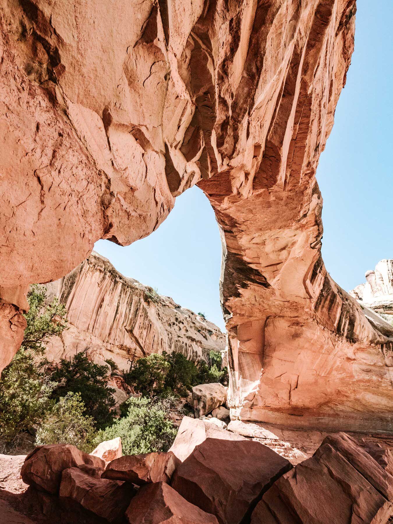
Despite Capitol Reef being such a unique National Park experience, we knew we still had to squeeze at least one substantial hike into our trip. Many people opt for the 3.1 mile, strenuous out and back route to Cassidy Arch, a steep incline and very exposed journey to a beautiful naturally-formed arch. However, we'd been hiking for miles the two days previous at both Arches National Park and Canyonlands National Park, so we decided to commit to a shorter and just as popular trail: Hickman Bridge. This alternate route is a 2 mile (round trip), moderate trek to a naturally occurring 133 ft-wide bridge across a canyon (also visually similar to an arch). Beware that although this is only a 1-mile hike, it's relatively tricky, with a quick 400-foot elevation gain and steep switchbacks. The trail is very open with little shade for the first half, so hike outside of prime sun exposure hours and bring lots of water. You can limit yourself to the Hickman Bridge loop trail, continue on the 4-mile trail to Rim Overlook for aerial views of Fruita, or go even farther (close to 10 miles round trip) to more overlooks at Navajo Knobs.
Capitol Reef was a much more relaxing National Park, and a significant change of pace compared to the intense hiking we had done the two days previously in Utah. From fresh fruit picked from the tree to a scenic drive that allowed us the luxury of car air conditioning as we explored the park, Capitol Reef in Fruita, Utah was a refreshing change. Make sure you check out all the historic sights and take in the expansive canyon views. You may even see some wildlife! Marmot crossing signs are posted throughout the park so keep an eye on the road! If you feel the need to get in a hike, Hickman Bridge is the way to go. No matter what you choose, the waterpocket fold of Capitol Reef National Park will leave you speechless.


